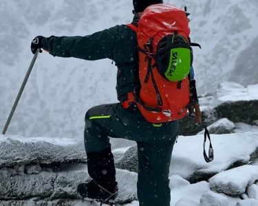

As your outdoor experience grows, understanding how to forecast weather becomes one of the most valuable skills you can have. Whether you’re planning a weekend of hiking, mountaineering, or backcountry skiing, accurate weather reading helps you stay safe, prepared, and flexible. Nature is unpredictable, and the ability to interpret weather patterns can make the difference between a successful trip and one cut short by storms or poor conditions.
Over the years, I’ve faced nearly every type of weather imaginable—soaking rain that left me drenched, unexpected snowfall in early autumn, and sleepless nights spent holding down a tent through fierce winds. Each experience taught me how crucial weather awareness is in outdoor planning. Though I never formally studied meteorology, I’ve picked up reliable techniques and tools that now guide all my adventures. Here’s what I’ve learned about reading and interpreting the weather before heading outdoors.
Start with a Broad Forecast
Begin by checking a national or regional weather source. It’s best to choose one reliable platform and become familiar with how accurate it is for your area. Websites such as the National Weather Service or other trusted meteorological organizations offer an overview of expected conditions, including temperature highs and lows, precipitation chances, and cloud cover. Monitor the forecast consistently during the week leading up to your trip. This helps you recognize shifting weather patterns and upcoming fronts that could affect your plans.
Watch for Temperature Trends
Pay close attention to temperature ranges and timing. Understanding when the temperature peaks and drops helps you plan your clothing layers and gear. Many forecasting tools provide graphs showing how temperatures fluctuate throughout the day—use them to anticipate when to add or remove layers. A small thermometer on your pack can help confirm accuracy once you’re on the trail.
Study Radar and Satellite Maps
Once you’ve reviewed general conditions, turn to radar and satellite imagery for more specific insights. Watching cloud movements, precipitation patterns, and storm development in real time helps you identify windows of good weather. Radar maps are especially useful for last-minute decisions—if you see clearer skies a short drive away, you can easily adjust your destination.
Pro tip: Check multiple nearby regions before committing to one plan. Sometimes, traveling just an hour in another direction offers far better weather.
Use Hourly Forecasts for Precision
Hourly forecasts are your best resource when timing is key. They show changes in temperature, wind, and precipitation throughout the day—perfect for planning when to start your hike or summit a peak. If you’ll be without cell service, take screenshots of the forecast beforehand so you can refer to it later. Over time, you’ll learn your own comfort levels—what wind speeds make travel unpleasant or what temperature drops require an extra layer.
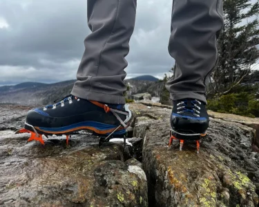
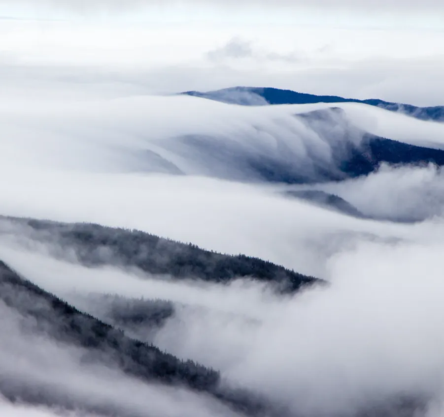
Factor in Elevation
Temperature and weather conditions vary greatly with altitude. As you climb higher, expect the temperature to drop roughly three degrees Fahrenheit for every thousand feet of elevation gained. Check forecasts for your trailhead, your campsite, and the summit if possible. Many websites allow you to toggle between elevation levels to better understand how weather changes throughout your route. Pay attention to terrain too—wind exposure is stronger on ridgelines, and valleys often trap moisture or fog.
Understand Wind and Precipitation
Wind can have a huge impact on your outdoor comfort and safety. Moderate gusts can be manageable, but anything over 40 mph becomes challenging, especially in exposed alpine areas. Always consider wind chill when temperatures are low. Similarly, don’t be discouraged by a small chance of rain—light precipitation can be manageable with the right gear. However, keep an eye on rainfall volume; a 20% chance with heavy rain is much different from a 50% chance of light drizzle.
Best Weather Forecasting Tools for Outdoor Enthusiasts
1. NOAA Weather (Weather.gov)
One of the most comprehensive forecasting tools available, NOAA provides detailed hourly graphs showing temperature, wind, humidity, precipitation, and storm potential. You can zoom into specific locations on the map for tailored forecasts, and the data includes elevation and GPS coordinates. While its accuracy is around 70%, the depth of information makes it an invaluable resource.
2. Mountain-Forecast.com
Perfect for hikers and climbers, this site provides weather information by elevation. You can view temperature, wind, and freezing levels at different altitudes, making it especially useful for mountain routes. The quick 0–6 hour outlooks are ideal for checking conditions just before setting out.
3. Windy.com
Despite its name, Windy.com is not just about wind. It offers multiple weather models that can be compared side by side, showing variations in precipitation, temperature, and pressure systems. It’s particularly helpful for tracking larger weather fronts across regions.
Best Mobile Apps for Weather and Safety
- Flowx (Android): Offers dynamic, interactive radar maps that show cloud movement, wind, and precipitation in motion—great for visualizing how conditions are changing.
- RadarScope (iOS and Android): A paid app known for its high-quality radar imagery, ideal for those who want detailed data visualization.
- Avalanche Forecasts (iOS and Android): Essential for winter adventurers, this app provides regional avalanche risk levels and educational resources. For North America, you can find updates through your local avalanche center listed at Avalanche.org.
Don’t Forget Local Knowledge
Before setting out on a major trip, check in with local ranger stations. Rangers often have first-hand knowledge of current trail conditions, road closures, and recent weather impacts. They can also verify that you’ve packed appropriate gear in case of sudden weather changes.
Final Thoughts
Becoming skilled at weather forecasting takes practice, but it’s an invaluable part of outdoor preparedness. By learning how to read patterns, use reliable tools, and interpret data across different elevations and regions, you can make smarter and safer decisions on your adventures. Whether you’re chasing alpine summits or exploring forest trails, understanding the weather means you’ll spend less time worrying—and more time enjoying the journey.